

Summer appears to be coming to an abrupt end after one of the warmest spells of weather the Isle of Man has experienced in recent years.
Following one of the hottest Julys on record and an August also likely to rank among the island’s warmest, the long, balmy days appear to be giving way to more unsettled conditions.
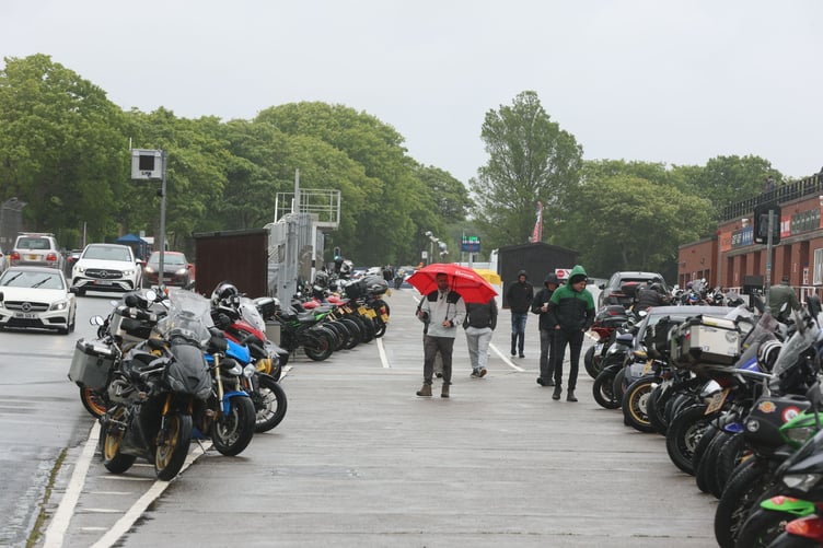
Manx Grand Prix and Classic TT organisers brought the racing programme forward to finish on Tuesday, before rain swept across the island on Wednesday.
And with meteorological summer coming to an end this month, Ronaldsway Met Office forecaster Adrian Cowin says a change in the weather pattern is already under way.
‘As we come to the end of meteorological summer (June-August), the better than average summery spells of sunny and warm weather are naturally coming to an end as well,’ he said.
‘The North Atlantic jet-stream at high levels in the atmosphere has already started to sink southwards and buckle in shape, which allows areas of low pressure to develop with associated cloudier skies and occasional rain.
‘The current sequence of weather fronts will now continue to give us further changeable conditions with bands of rain interspersed with dry and brighter spells.
‘Temperatures will be near to or slightly above average for late August and into early September.
‘There are some weather models that give a return of generally drier weather for southern parts of the British Isles during the rest of September, and lift temperatures into the warm or very warm category for a while, but these conditions are less likely further north.’
Looking further ahead, an El Niño event developing over the Pacific Ocean, which the Met Office says is likely to be the strongest in living memory, could increase the chances of a wetter autumn across Western Europe.



However, Mr Cowin said the greatest impact is more likely to be felt further south.
‘There’s an increased probability this autumn will tend to see more frequent periods of wetter weather than normal for Western Europe,’ he explained, ‘as the effects of a super strong El Nino in the Pacific spread into the global atmosphere.
‘But the most significant enhancement of rainfall events is much more likely to give impacts for France and Iberia rather than the British Isles.’