
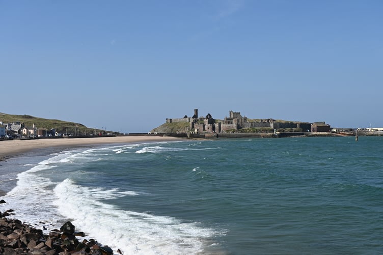
Rainfall was 30% down on average during April, forecasters at the Ronaldsway Met Office have revealed.
After a warmer and drier March, the trend continued into last month with anticyclonic conditions, plenty of sunshine and only a few April showers.
The mean of the daily maxima across the month came to 13.3°C which is the third warmest on record and nearly 2°C above the 30-year average.
The 17.6°C achieved on the 4th of last month was the earliest in the year it has been that warm.


The warmest day of the month was the 30th, with a temperature of 18.6°C recorded at Ronaldsway, while inland, away from the east breeze off the sea, it was into the low 20s.
The UK Met Office reported it was its sunniest April on record, but here it was only the fourth sunniest. We had 230 hours burned onto the cards which is more than 50 hours above the 30-year 1991-2020 average.
The best day was the 30th with 13.3 hours of sunshine.
It wasn’t all sunshine, however, and there were a few rainy days mid-month, totalling 40.8mm, which is about 30% down on the average. The wettest day was the 14th when 8mm of rain fell.
Wind speeds averaged 11 knots which is a little below average, but unusually there was only one day with strong winds (22 knots or more).
The prevailing direction over the month was from the east, bringing all that warm continental air.
Forecaster Gary Salisbury added: ‘It’s certainly been a very good spring so far, with rainfall 50% down over the last three months. Let’s hope we haven’t peaked too soon!’