.JPG?width=94&height=94&crop=1:1,smart&quality=75)

The Department of Infrastructure does not directly provide Isle of Man speed limit information to satellite navigation companies.
This is according to Infrastructure Minister Tim Crookall, who responded to a question in the House of Keys from Onchan MHK Julie Edge about how speed limits are made known to providers of satellite navigation systems.
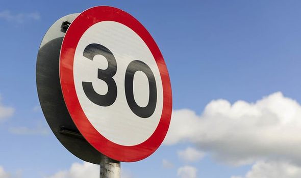
Ms Edge said the question had arisen following concerns about speed limit information displayed by some satellite navigation systems, citing an example of a derestricted road in the south of the island that has reportedly been shown as having a 20mph speed limit.
In response, Mr Crookall said the department understands navigation companies obtain information from a range of sources, including GPS data, vehicle-mounted cameras and mapping services.
.jpg?width=209&height=140&crop=209:145,smart&quality=75)


‘The department does not provide any data to those third-party providers,’ Mr Crookall commented.
‘When we advertise changes or speed limits going in anywhere, it may well be that the navigation companies pick that up from what’s advertised and in the press.
’If you’ve got a camera in your car, it will sometimes pick up the signs and read, process and put it on your dashboard, whether it’s 20mph, 30mph or de-restricted.
‘Where the honourable member said there was some issues, I would be happy to have those checked out.’
Ms Edge then questioned whether information relating to the current consultation on 20mph speed limits could have been published in a way that allowed mapping providers to update their data before elected members had received consultation documents.
However, Mr Crookall said mapping providers should only be obtaining information from published regulations and Traffic Regulation Orders (TROs).
‘If there’s any confusion, please let me know where you think that is,’ he told fellow members.