

A further 16-hour weather warning for ice has been issued by the Isle of Man Met Office with sub-zero temperatures expected in parts of the island overnight.
The yellow warning – which means ‘be aware’ – will be in place from 6pm on Tuesday evening until 10am on Wednesday.
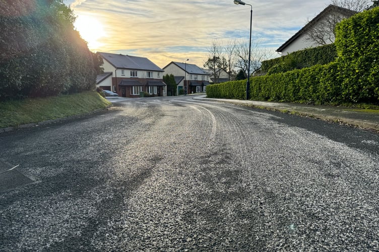
With some wet weather on Tuesday, with run-off from high ground, could cause problems with ice forming, particularly on the Mountain Road.
A similar warning was put in place for Monday evening in to the early hours of Tuesday as cold winds from the north hit the British Isles, resulting in a cold snap.

.png?width=209&height=140&crop=209:145,smart&quality=75)
Ronaldsway Met Office forecaster David Britton said: ‘Air temperatures will fall this evening (Tuesday) close to zero, leading to sub-zero surface temperatures in places and a risk of ice.
‘Following showers today and still with runoff/water on some of the island's roads, there is a risk that these wet/damp areas will turn icy.
‘Northern and western parts of the island should be at a lower risk given the strong onshore northerly winds, however elsewhere for eastern, southern and central parts, particularly on the mountain road ice will be a higher risk.’
The Met Office says temperatures will remain low throughout Wednesday and the weather warning could be extended.