The hot weather is set to fade this weekend - but that does not mean summer is over.
The heat dome that has sent temperatures soaring across the British Isles, particularly in southern England, is now moving away.
For the Isle of Man, that means cooler Atlantic air will arrive on Saturday. However, forecasters say it marks a return to more typical June weather rather than the start of a prolonged unsettled spell.
Ronaldsway Met Office forecaster George Shimmin said: ‘Friday will be the last day of really warm temperatures before it returns to a more seasonal pattern.


‘This is because a more mobile weather front is moving in, bringing cooler air from the Atlantic.
‘It will also become a little more unsettled, but that does not mean heavy rain or strong winds.
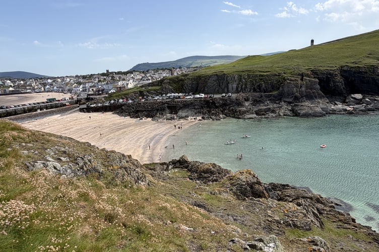
‘There may be a misty start on Saturday and some rain later, but much of the day should stay dry and sunny, although perhaps a little too fresh for the beach.’
It will be cooler again on Sunday, with temperatures returning to the high teens - still slightly above the seasonal average of 16.5C.
But it is not all bad news, Mr Shimmin said.
‘It will mean much more comfortable nights,’ he said. ‘We can all get a better sleep.’
Thursday was the hottest day of the current warm spell, with temperatures reaching 27.5C.
‘That is not a record-breaking June temperature,’ Mr Shimmin said, ‘but it came very close. It is certainly the hottest day of the year so far.’
From Sunday, temperatures are expected to remain around 17C to 18C as the weather becomes a little more changeable.
Mr Shimmin added: ‘Temperatures will remain around average and it certainly won't be awful weather. It does not look like there will be much change, although it may become a little more settled as we move into July.’
Comments
This article has no comments yet. Be the first to leave a comment.