

The scale of objections to plans for quayside flood defences in Ramsey has been outlined in a written reply to Tynwald.
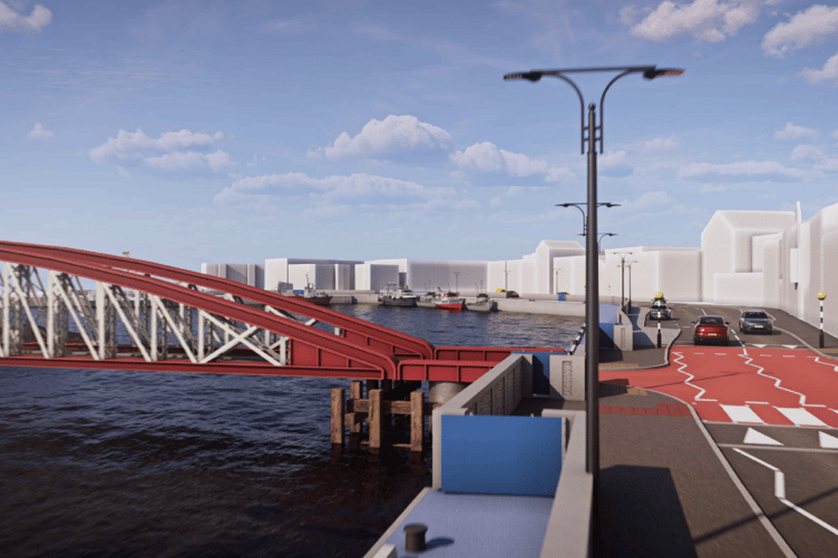
A planning application (25/91186/B) was submitted last December by the Department of Infrastructure for a 1.3m-high concrete flood wall.
The proposed wall would have started at the junction of Bowring Road and continued along the northern side of Derby Road and West Quay before ending on East Quay just north-east of Neptune Street.
It was designed to reduce tidal flood risk to hundreds of residential and commercial properties - up to 542 under future climate scenarios and 478 under present-day extreme events.


But in February, the DoI withdrew its planning application citing serious concerns raised locally about the scale and impact of the design.
The department said it would begin consulting again to find a suitable solution.
In a Tynwald question, Ramsey MHK Lawrie Hooper asked how many comments and objections had been received.
Infrastructure Minister Tim Crookall said in a written reply that there had been a total of five submissions.
These comprised four public representations from individual members of the community and one statutory consultee response.
All five submissions were made through the online Planning Portal as part of the statutory consultation process, he said.
The matters raised related primarily to the proposed height of the flood wall and the potential loss of parking, Mr Crookall said.
He added that verbal and informal written feedback had also been received from the local authority, residents and the Northern Chamber of Commerce.
This included a number of objections to the proposals made at a special board meeting of Ramsey Town Commissioners in February.
While these comments echoed concerns about the wall height and parking, they also raised questions about the suitability of the design in the context of the town’s character, the minister said.