The Isle of Man was battered by Storm Amy over the weekend, with winds reaching a top speed of 89mph at Snaefell summit on Saturday morning.
The storm brought widespread disruption, prompting a yellow weather warning from Friday afternoon through to Saturday evening.
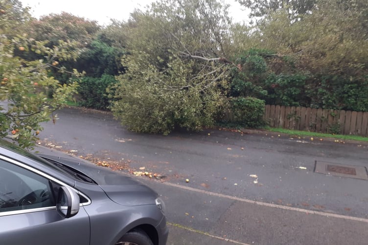
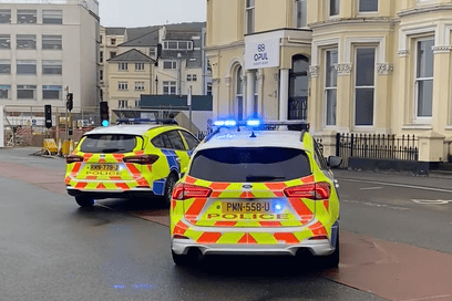
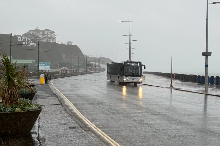
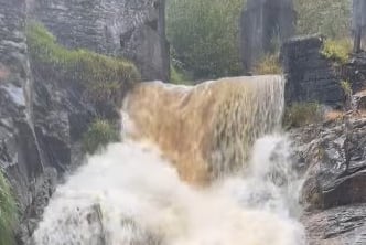
Trees were brought down, roads blocked and localised flooding reported across the island, with police and Department of Infrastructure crews working throughout to manage closures and clear debris.
At Ronaldsway, wind speeds peaked at 68mph, first recorded at 4.10pm on Friday and again at 8.10am on Saturday morning.
.jpeg?width=209&height=140&crop=209:145,smart&quality=75)

The severe gales created significant travel disruption both on and off the island.
Sailings were particularly affected.
Saturday evening’s Ben-my-Chree crossing to Heysham was unable to depart due to conditions exceeding safe harbour limits.
Instead, when services resumed on Sunday, a Heysham sailing was redirected to Liverpool.
Both the Manannan and Ben-my-Chree sheltered in Douglas Harbour during the worst of the storm, while the Manxman was left in Heysham from Friday afternoon until she was able to depart at 1.35am on Sunday, eventually docking in Douglas at 5.50am.
Air travel was also hit.
Friday saw the most significant disruption at Ronaldsway, with a string of cancellations.
These included the 2.45pm EasyJet service to Dublin, the 3.20pm EasyJet to Liverpool, and both the 3.40pm and 5.30pm Loganair flights to Manchester.
Other services were delayed, including the 4.50pm Loganair, which eventually departed at 5.30pm.
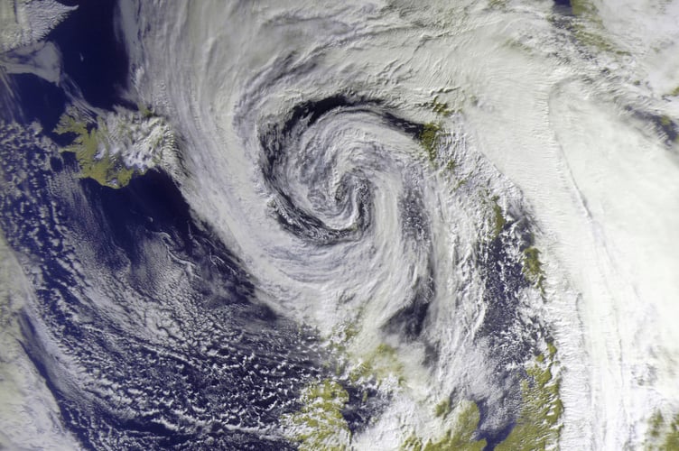
Despite the chaos, there were some dramatic sights.
Skywatcher Dave Corkish captured a striking satellite image of Storm Amy from Peel at 11.40am on Saturday using homemade equipment, offering a unique perspective of the weather system as it passed over the island.
By Sunday, conditions had eased, leaving clear-up operations underway after the first storm to hit the island this autumn.