


The Isle of Man has been issued three new weather warnings for Monday and into Tuesday, including an amber warning for coastal overtopping, as the island continues to deal with the aftermath of Storm Boleo.
The warnings have been issued by the Isle of Man Met Office, with strong winds and high tides expected to bring further disruption after a weekend of severe weather.
An amber warning for coastal overtopping will be in force from 10pm on Monday (October 26) until 1am on Tuesday (October 27).
Gale or severe gale-force south to south-westerly winds are expected to cause significant overtopping, with waves and debris likely to reach coastal roads and promenades around high tide at approximately 10.30pm.
Areas affected include Douglas promenade, Ramsey promenade, Laxey promenade, Shore Road, Rushen and Castletown promenade.
A separate yellow warning for coastal overtopping will be in force from 9.30am until 12.30pm on Monday.
Strong south to south-westerly winds are expected to cause minor overtopping, with waves and debris reaching exposed roads and promenades around high tide.
The areas affected are the same as those covered by the amber warning.
A third yellow warning for gale or severe gale-force winds will come into effect at 6pm on Monday and remain in place until 6am on Tuesday.




Gusts of between 50mph and 60mph are expected widely, with gusts of up to 65mph possible on higher ground and exposed coastal areas.
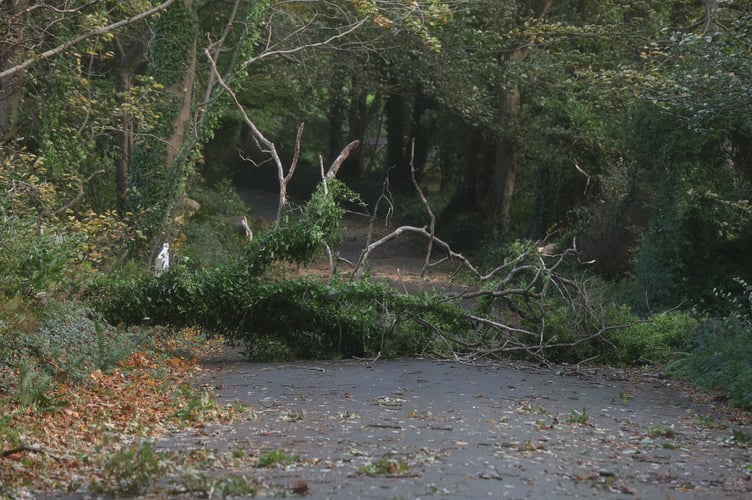
The Met Office says the winds could cause fallen branches and trees, as well as travel disruption.
While the risk of severe gale-force winds is expected to diminish after the warning expires, south-westerly winds will remain strong to gale force for much of Tuesday.
Emergency and standby crews have been responding to incidents across the island, including fallen trees and flooding, as the island begins to recover from the storm.
Residents are advised to take care around exposed coastal areas during high tides and remain alert to further weather updates.