

.jpeg?width=752&height=500&crop=752:500)
Ronaldsway Met Office has issued a new weather warning for snow and ice.
This latest yellow warning comes into force at 6pm today (Monday) and will be in place until midday tomorrow.
A spokesperson at the Met Office said: ‘There is a further risk of road surface temperatures falling close to or slightly below freezing tonight, giving a risk of ice on any untreated surfaces.
‘The areas most at risk are higher ground above around 1000FT.
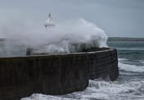 Storm Bram brought one of the island’s strongest gusts in a decade, forecasters say
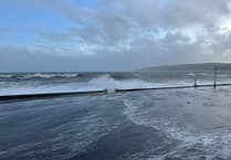 Fresh warning for coastal overtopping to come while cleanup from Storm Bram continues
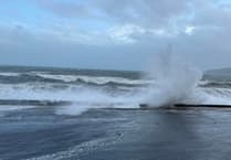 Storm Bram: Met Office issue fresh weather alert for storm-force winds
 Four Steam Packet sailings cancelled as Storm Bram brings gale force winds
‘Outbreaks of rain will also develop towards midnight, with a risk of falling as sleet or snow over higher ground (mainly above around 1000ft), and although accumulations are expected to be small, this will further enhance the risk of ice.’
Looking ahead, forecasters say it will be cloudy with some patchy outbreaks of light rain or drizzle through the morning tomorrow, but this then clearing to become largely dry the rest of the day and with some brightness developing.
It will however remain windy with a strong southeast wind and a top temperature of 7°C.
It’s a similar story on Wednesday with it remaining largely cloudy but with outbreaks of rain at times.