
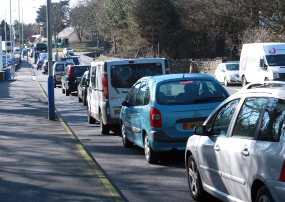
Worst-case scenario modelling has revealed that peak evening journey times could double if a blueprint for future development in the east of the island is implemented.
The Department of Infrastructure hired engineering consultancy firm Systra Ltd to test the impact on the highway network, in particular in Douglas and Onchan, from the proposed developments.
Tynwald is to vote this week on whether to back the plan, which has been opposed by many residents.
Tynwald had been due to vote on the plan at the last sitting, but after several hours of speeches, Minister for Policy and Reform Ray Harmer pulled the motion.
.png?width=209&height=140&crop=209:145,smart&quality=75)

.jpeg?width=209&height=140&crop=209:145,smart&quality=75)
.jpeg?width=209&height=140&crop=209:145,smart&quality=75)
For the Systra report, 38 separate sites were included within the modelling exercise resulting in an additional 2,951 trips during the AM period (7am to 9.55am), an additional 3,125 trips during the PM period (4pm to 6.55pm, and an additional 3,176 trips during the Saturday period (11am to 1.55pm).
Systra said: ’For the purposes of the exercise, all development trips were included within the model as "new" trips to the network i.e. no trips between each of the new developments being proposed were included. It should therefore be acknowledged that the study reflects a "worst-case" scenario as in reality not all trips would be new to the network.’
The total number of vehicle being modelled was shown to be 36,521 during the AM period, 39,930 during the PM period and 37,241 during the Saturday period.
The report says: ’Compared with the existing 2016 base situation, the results highlighted that the average network speeds across the entire network were lower with the Area Plan for the East development in place, the average network travel time was higher, and that the overall network summary statistics reflected a lower rating when judged against a speed comparator used to form a ranking system, particularly during the PM period.
’Congestion was shown to mainly develop on the north side of Douglas during the AM period and generally along the main arterial routes into the town, including the corridors of Peel Road and the A23 at Braddan, the A18 at Hillberry and along Johnny Watterson’s Lane.’
Graphs within the report show the average speed on the road network dropping from a current morning low of 16mph to 12mph, if the plan is implemented.
In the PM period this fall is seen falling from 15mph to 8mph.
The report includes a graph showing average network travel times doubling from seven minutes to 14 minutes during peak evening hours. During the PM period, queueing was shown to generally form along Peel Road, Quarterbridge Road, Alexander Drive and New Castletown Road. Congestion was also shown to form in Douglas, mainly along Woodbourne Road.
modelling
Queueing was also shown by the modelling to form on Cooil Road during the PM period mainly attributed to queueing back from the signal control junction on new Castletown Road at the junction with Annacur Lane
Pockets of congestion were shown to form and dissipate across the network area during the Saturday period.
Compared with the AM and PM periods however, the Saturday period was shown to operate well with the additional traffic demand assigned within the model.
Systra added: ’With the Area Plan development in place, further investigation would be required to confirm the location and the level of mitigation required within the network, using the 2016 base model, during each modelled period.
’It is possible however that the road network performance may further improve, if the fixed time signal plans currently present in the network are replaced with dynamic signal control plans. This would provide some benefit to dealing with the impact of including the Area Plan development content currently being proposed.’
Comments
This article has no comments yet. Be the first to leave a comment.