
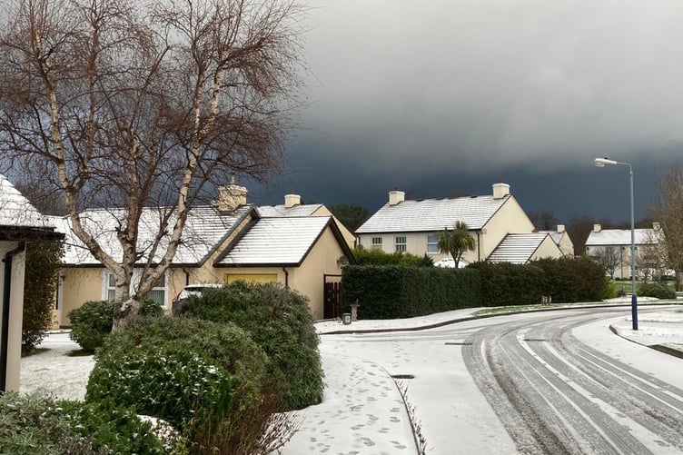
The Met Office's weather warning has been downgraded from amber to yellow.
The forecast:
Just a few scattered wintry showers soon becoming isolated this morning, although still falling as snow over high ground but just sleet or rain at lower levels.
Temperatures 2 to 4 Celsius at first, rising to around 6 at best today but staying near freezing on the highest hills, still with a fresh to strong northwest wind.


Odd wintry showers tonight, with clear spells, and becoming less breezy but with temperatures falling to around 1 Celsius away from windward coasts there'll be a ground frost & icy patches on untreated surfaces.
Sunrise: 8:27am Today
Sunset: 4:32pm Today
Outlook
Any isolated showers at first on Thursday will die out, then it'll be a mostly bright day with spells of sunshine, and the wind will fall lighter. It will continue rather cold into Friday, with some overnight frost, but otherwise fine. Turning milder over the weekend with a freshening southerly wind and little rain developing at times by Sunday.
Comments
This article has no comments yet. Be the first to leave a comment.