The Met Office says snow could fall on the Isle of Man within days.
In their latest five-day forecast, experts at Ronaldsway have predicted that the white stuff could come down on parts of the island on Thursday with ‘significant falls possible.’
And that could continue towards Friday and Saturday although no weather warning for snow has yet been issued.
There is however an alert in place for ice overnight as temperatures plummet.


.jpeg?width=209&height=140&crop=209:145,smart&quality=75)
The mercury could dip below freezing during the week before warming-up slightly during the weekend, according to predictions.
Below is a summary of the weather the island could experience in the coming days courtesy of the Met Office.
Wednesday
The weather will be dry and bright with sunny spells.
However, conditions will become breezy and cloudy overnight with a risk of ice later in the day.
Thursday
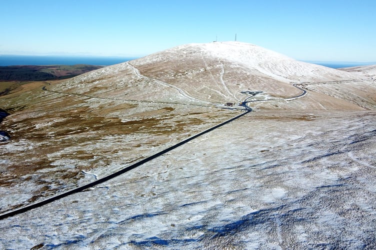
Outbreaks of rain or sleet could potentially develop as well as snow on the hills with significant falls possible.
Conditions will be windy with a chance of strong winds and it will feel bitterly cold. There will be a risk of significant hill snow which will drift in the wind (snow level uncertain but areas above 500 feet will probably see mainly snow).
Also a risk of a little coastal overtopping at high tide.
Friday
Outbreaks of rain, sleet and snow, but tending to become lighter and patchier with the snow level rising a little.
Conditions will still be windy and will feel very cold.
There will still be a risk of significant hill snow which could drift in the wind (again rain/snow level uncertain at this stage).
Again, a little coastal overtopping at high tide.
Saturday
Mostly cloudy, still with a little patchy rain, sleet and snow on hills.
Conditions will be less windy.
Risk snow and ice on hills and possibly ice at lower levels later.